

Transforming Geospatial Data into Strategic Insights
At Mapmatics GIS, we excel in developing and implementing GIS strategies that convert geospatial data into actionable intelligence, empowering businesses across various industries.
Our Capabilities
GIS Strategy Development
Assessing your current GIS capabilities to design a roadmap for future growth and optimization.
Implementation & Integration
Deploying tailored GIS solutions that seamlessly integrate with your existing systems and workflows.
Enterprise GIS Solutions
Providing scalable GIS infrastructures, from cloud-based platforms to on-premise solutions, to meet your business needs.GIS Consulting & Advisory
Offering expert guidance on best practices, compliance, data management, and geospatial analytics.Custom Web GIS Applications
Developing intuitive GIS applications that enhance accessibility and usability for your team.Drone & Field Data Collection
Bridging the gap between field operations and GIS, ensuring accurate, real-time data integration.

Ready to optimize your operations with cutting-edge GIS solutions? Contact us today to schedule a consultation.
GEOVISUAL AID
Geographic information systems (GIS) provide a powerful tool for the oil and gas industry, enabling companies to visualize, analyze, and manage complex geographic data. Here are just a few of the benefits of using GIS in the oil and gas industry:Improved decision-making: GIS technology enables oil and gas companies to integrate and analyze data from a wide range of sources, including geological, geophysical, and environmental data. This can provide a more complete picture of potential oil and gas reserves, helping companies to make more informed decisions about exploration and development.Enhanced visualization: GIS tools enable oil and gas companies to create detailed maps and 3D models that can help visualize the location and characteristics of oil and gas reserves. This can be invaluable for planning, analysis, and communication with stakeholders.Enhanced safety and environmental management: GIS technology can help oil and gas companies to identify and mitigate potential safety and environmental risks. For example, GIS can be used to create maps that show the location of sensitive environmental areas, pipelines, and other infrastructure, helping companies to avoid potential conflicts and avoid damaging the environment.Overall, GIS technology offers a wide range of benefits for the oil and gas industry, helping companies to make more informed decisions, improve safety and environmental management, and stay ahead of the competition.
Portfolio / Case Studies
Proven GIS Solutions for the Oil & Gas Industry
At Mapmatics GIS, our work speaks for itself. We’ve helped numerous clients in the oil and gas industry achieve their operational goals through customized geospatial solutions. Here are a few examples of how we’ve made an impact.
Case Study 1: Optimizing Drilling LocationsClient: [Redacted]Challenge: The client needed to identify optimal drilling locations in a challenging terrain.Solution: Our spatial analysis tools helped the client evaluate various factors such as geological data, environmental impact, and logistical constraints.Result: The client successfully drilled in the optimal locations, resulting in increased production and reduced environmental impact.Case Study 2: Efficient Pipeline ManagementClient: [Redacted]Challenge: The client needed a reliable system for monitoring and managing their extensive pipeline network.Solution: We developed a customized web portal that allowed the client to monitor pipeline conditions in real-time, identify potential risks, and optimize maintenance schedules.Result: The client reported a significant reduction in maintenance costs and improved response times to pipeline issues.
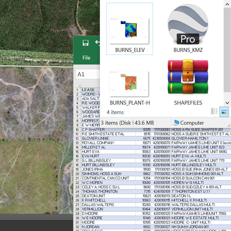
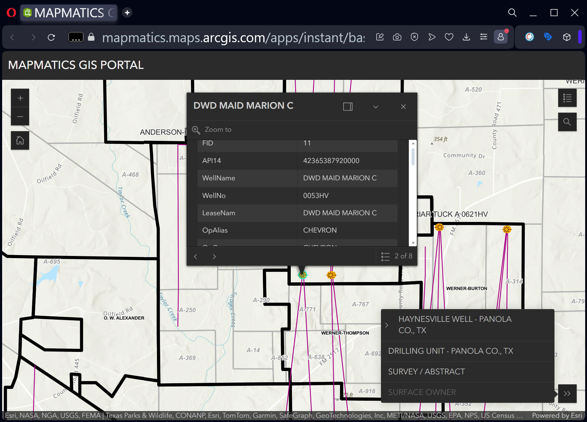
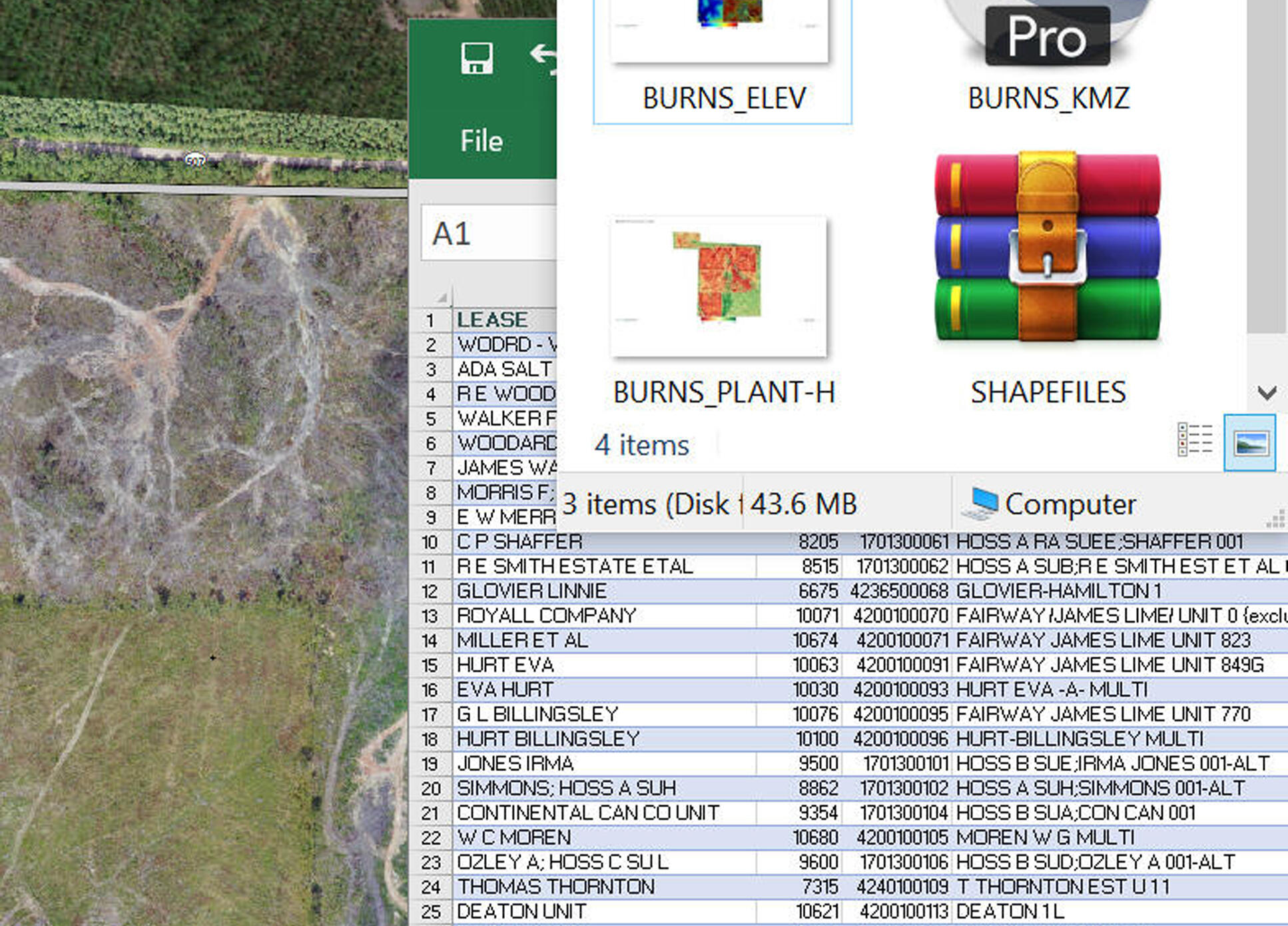
STATIC MAPS

As-Drilled Plat
TX RRC Well Permit

Prospect

Prospect

Fault + Insets

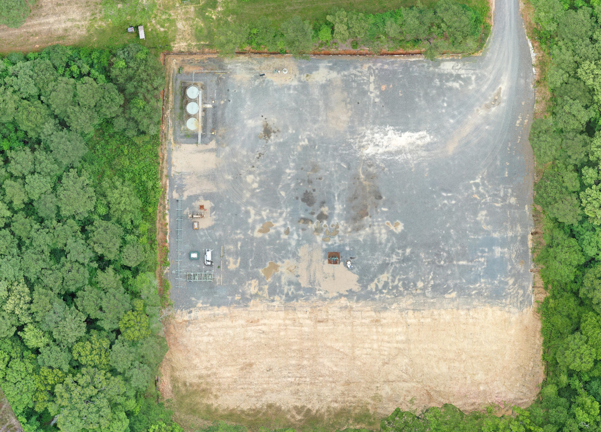
Compressor

Activity

Lease Prospect

Pipeline Operator

Emergency Incident Management


Interested in seeing how our GIS solutions can work for you? Contact us to learn more about our past projects and how we can help with your next venture.
About Us
Experts in Geospatial Solutions for the Oil & Gas Sector
Company OverviewMapmatics GIS was founded with a singular focus: to transform geospatial data into actionable intelligence. While we have strong roots in the oil and gas industry, our expertise extends across multiple sectors, including energy, environmental consulting, and land management. By developing and implementing strategic GIS solutions, we help organizations optimize their operations, improve decision-making, and enhance efficiency.Our MissionOur mission is to empower our clients with cutting-edge GIS strategies that streamline operations, reduce risks, and unlock new opportunities. We achieve this by designing and implementing high-quality, tailored GIS solutions that are both robust and user-friendly, ensuring seamless integration into your existing workflows.Why Choose UsIndustry-Specific Expertise:
Our experience spans multiple industries, allowing us to develop GIS strategies that align with your specific operational goals.Strategic & Customized Solutions:
We don’t just provide GIS tools; we craft comprehensive GIS roadmaps designed to enhance efficiency and long-term growth.Commitment to Quality & Innovation:
We pride ourselves on delivering scalable, forward-thinking GIS solutions that integrate seamlessly with your business processes, ensuring reliability, adaptability, and future-proof performance.

Discover how our expertise can enhance your operations. Get in touch with us to learn more.
Services
Tailored GIS Solutions for Oil & Gas Operations
Our comprehensive suite of GIS services is designed to support every phase of your oil and gas operations, from exploration and production to environmental compliance and asset management.
GIS Strategy Development
Crafting comprehensive GIS roadmaps aligned with your business objectives.
Implementation & Integration
Ensuring seamless deployment and integration of GIS solutions into your existing operations.
Enterprise GIS Solutions
Building scalable and robust GIS infrastructures tailored to your organizational needs.GIS Consulting & Advisory
Offering expert guidance on best practices, compliance, data management, and geospatial analytics.
Custom Web GIS Applications
Developing intuitive GIS applications that enhance accessibility and usability for your teamDrone & Field Data Collection
Bridging the gap between field operations and GIS, ensuring accurate, real-time data integration
Explore how our tailored GIS services can transform your oil and gas operations. Contact us today to discuss your project needs.
Contact Us
Get in Touch with Mapmatics GIS
Partner with Mapmatics GIS to revolutionize your operations through strategic GIS solutions. Contact us today to discuss how we can assist in achieving your business goals.
Or email us directly here.
We look forward to hearing from you!